Using the app
Map
Browse live and recent water levels on the Tide Alerts map.
The map is the home view in the app. Clusters group nearby gauges so you can zoom into a coast or harbor without jumping across the ocean. Each pin is a station that reports live or recent water — not a location extrapolated to the nearest NOAA table. Tides can differ from bay to bay; we do not pretend the next inlet is your waterway. More on how this differs from typical tide apps.
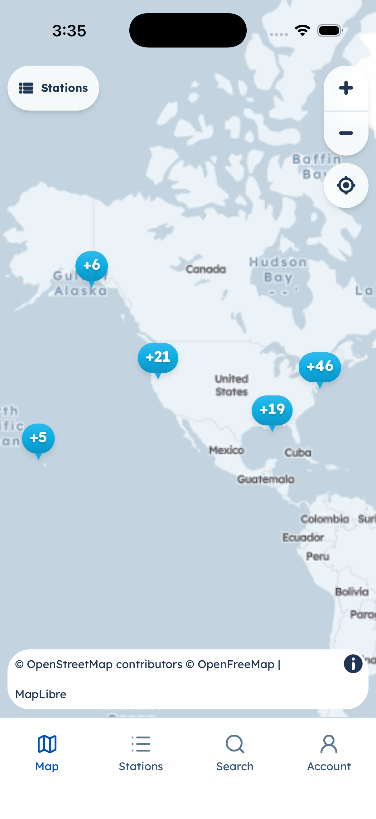
Station clusters on the map. Bottom tabs stay in the app (Map, Stations, Search, Account).
Tips
- Pinch or spread to zoom. Tap a cluster to split it; tap a station to open it.
- The opening view is framed around the main station cluster so a distant station (for example Guam) does not yank the camera across the Pacific.
- Search (tab) finds stations by name without leaving the native chrome.
Browse-without-account: the map does not require Apple, Google, or email sign-in.