Tables
Open a station → Table for highs and lows over a month (and related table views the station supports). Those heights use a datum (usually MLLW): they are not depth under the keel by themselves. See what the numbers mean. On Sentient Things hyperlocal gauges and on SECOORA, NERACOOS, and USGS stations, that table is from our predictions — NOAA typically publishes none there, so this is often the first monthly tide table for that waterway. Even if NOAA does publish a table nearby, ours is based on hyperlocal measurements at that station, so it is a better fit for that location.
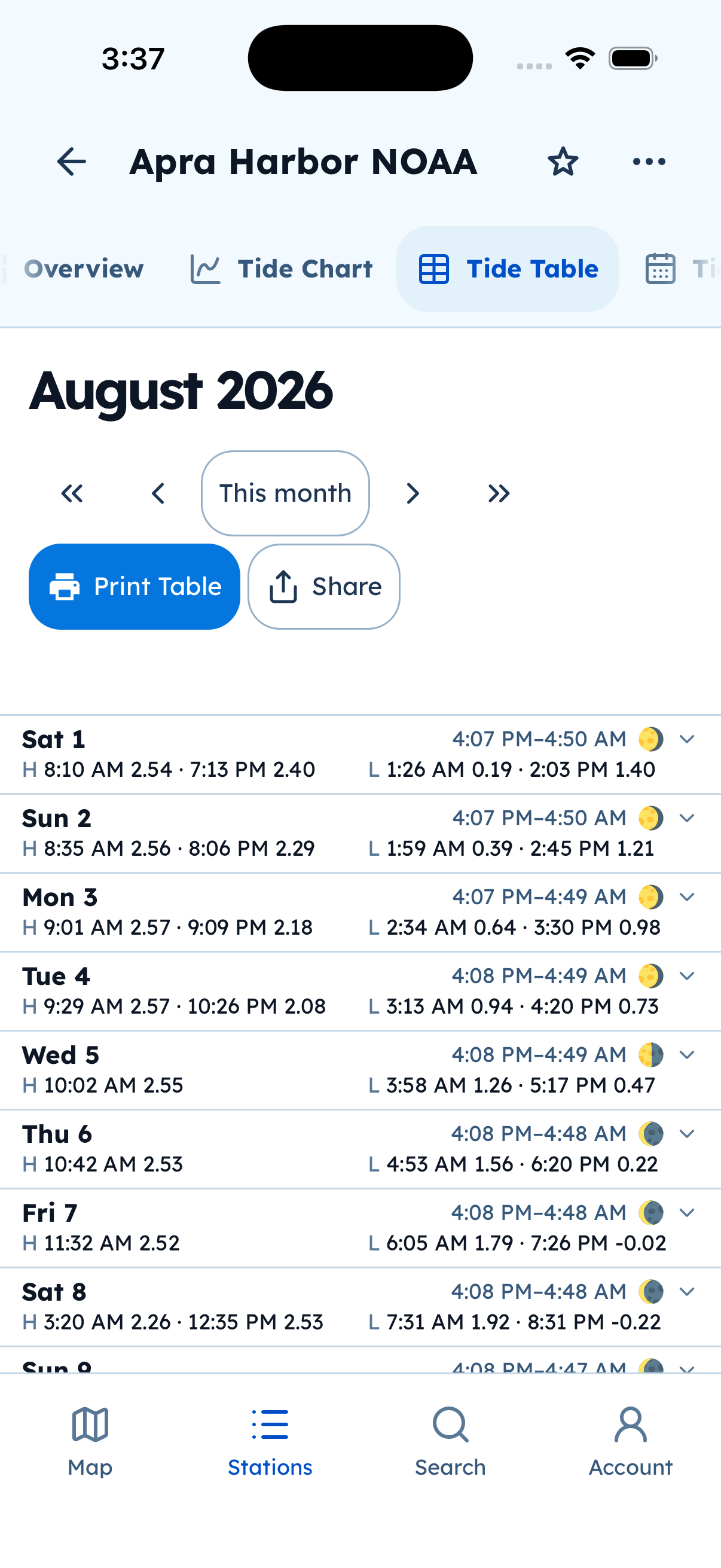
Tide Table. Use Print Table or Share to get a PDF on the device.
You do not need an account to view or share a table. On native apps, share uses the system share sheet rather than the desktop browser print dialog.