Find a station
There are four ways to find a station. All of them work without an account.
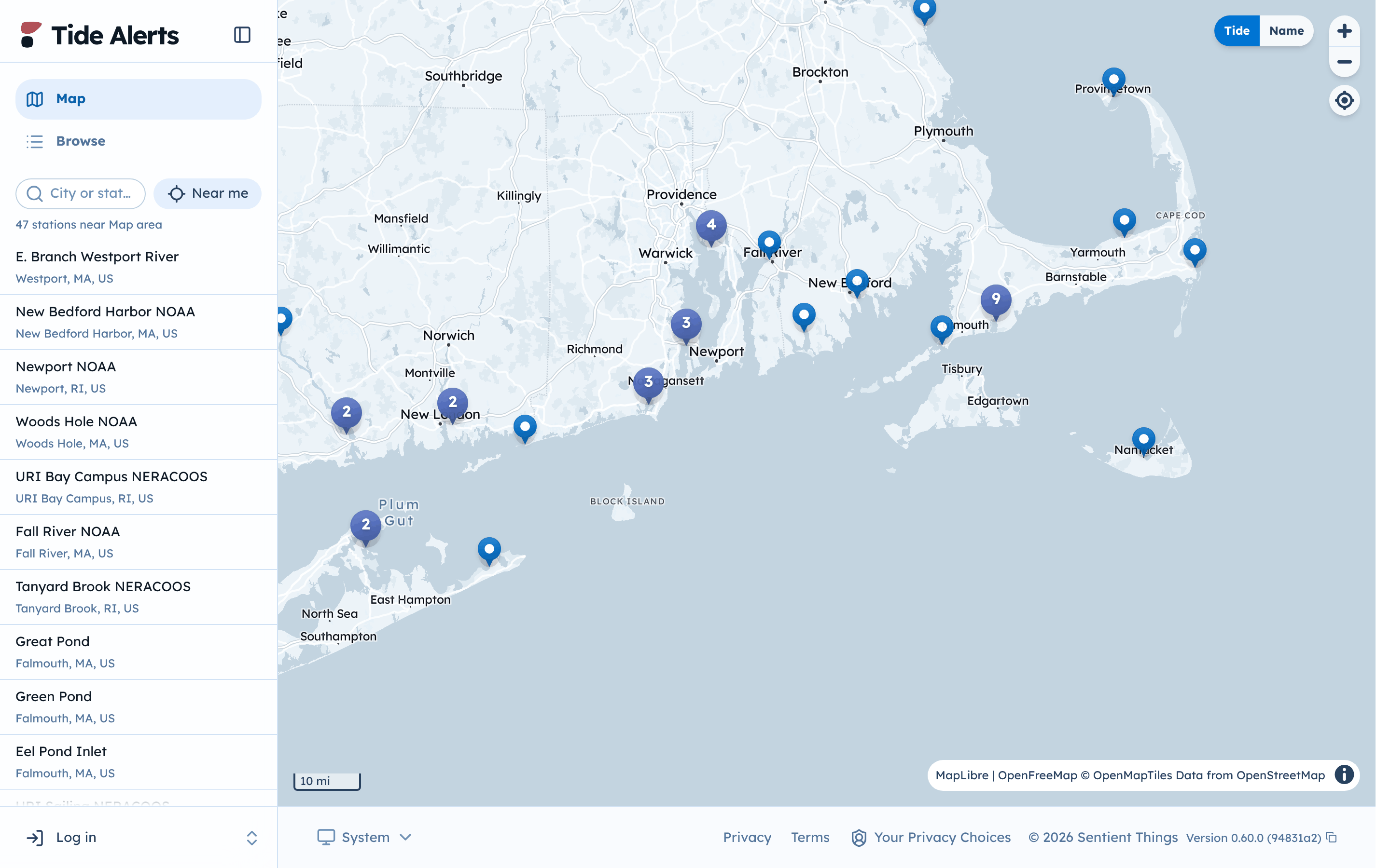
On the map
- Select Map in the sidebar.
- Pan and zoom to your area. A number on the map is a group of nearby stations; select it to zoom in.
- Select a station. A card shows its latest water level, the next high or low tide, and a small tide chart.
- Select View station to open it.
The list beside the map shows the stations in the area you are looking at. Select a station in the list to open it.
Search for a place or station
Type a city or a station name in the City or station box, then pick a result. Choosing a station opens it. Choosing a city lists the stations nearest to it.
Near me
Select Near me to list the stations closest to you. Your browser asks for permission to share your location. Tide Alerts uses it only to find nearby stations. If you say no, the other ways still work.
Browse by provider or state
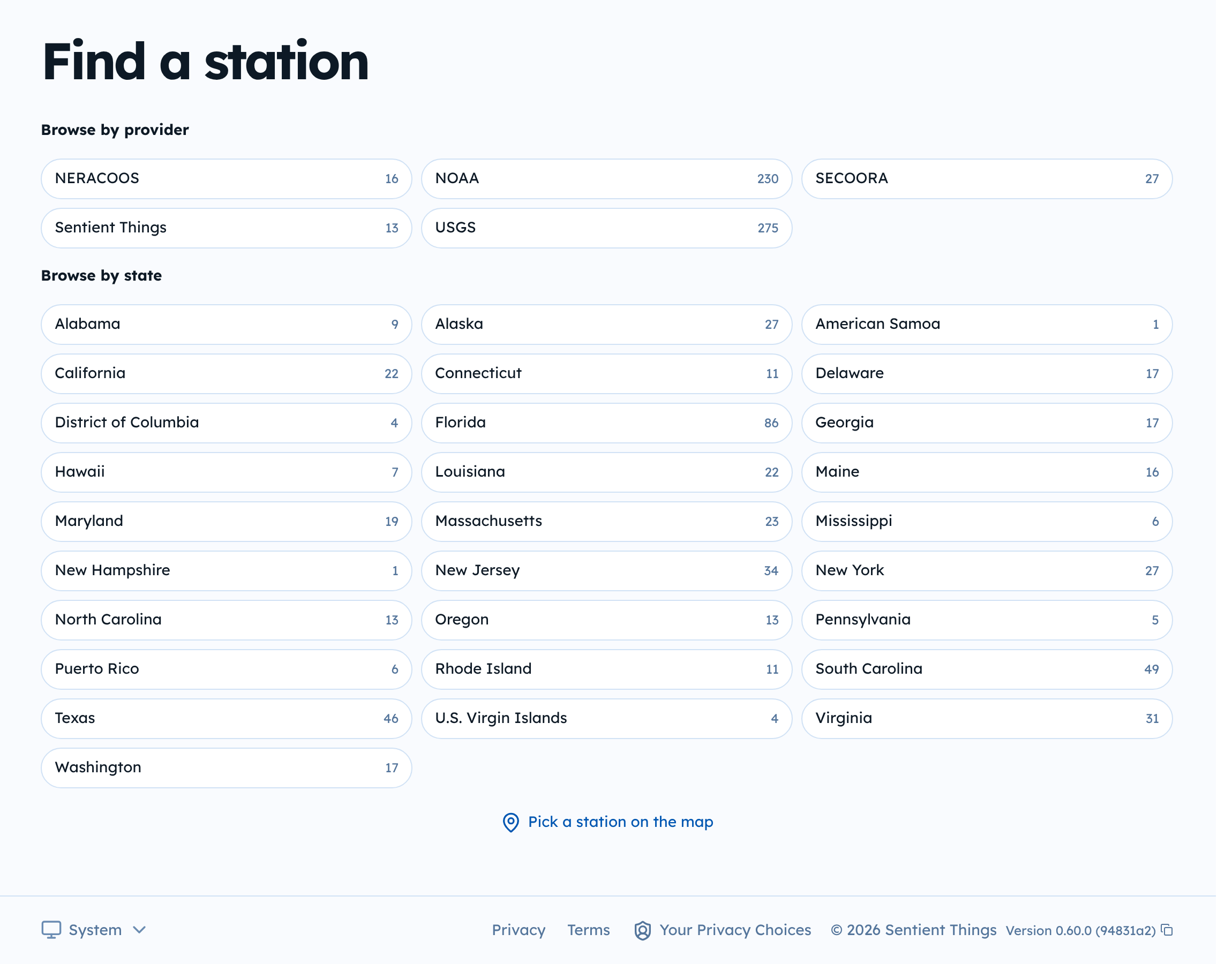
Select Browse to see every station grouped by who runs it (NOAA, USGS, SECOORA, NERACOOS, Sentient Things) or by state.
Choose the right station
Tides can change a lot between nearby bays. Pick the station closest to you on the same body of water. See Observed and predicted water levels.